
L Hopital topographic map
Interactive map
Click on the map to display elevation.
About this map
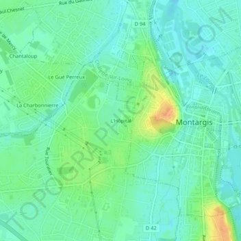
Name: L Hopital topographic map, elevation, terrain.
Average elevation: 302 ft
Minimum elevation: 269 ft
Maximum elevation: 374 ft
Other topographic maps
Click on a map to view its topography, its elevation and its terrain.
La Manche
France > Centre-Loire Valley > Villemandeur
La Manche, Villemandeur, Montargis, Loiret, Centre-Loire Valley, Metropolitan France, 45700, France
Average elevation: 295 ft