
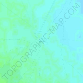
Toulé topographic map
Interactive map
Click on the map to display elevation.
About this map
Name: Toulé topographic map, elevation, terrain.
Location: Toulé, Niono Cercle, Ségou, Mali (15.12884 -5.59476 15.16884 -5.55476)
Average elevation: 876 ft
Minimum elevation: 866 ft
Maximum elevation: 889 ft