
An Hội topographic map
Interactive map
Click on the map to display elevation.
About this map
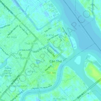
Name: An Hội topographic map, elevation, terrain.
Location: An Hội, Ninh Kiều District, Can Tho City, 8200, Vietnam (10.02057 105.76551 10.06057 105.80551)
Average elevation: 13 ft
Minimum elevation: -26 ft
Maximum elevation: 39 ft