
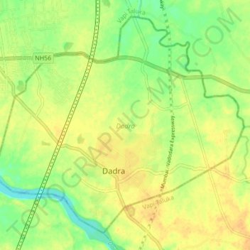
Dadra topographic map
Interactive map
Click on the map to display elevation.
About this map
Name: Dadra topographic map, elevation, terrain.
Location: Dadra, Dadra and Nagar Haveli, India (20.30649 72.93205 20.36292 73.00148)
Average elevation: 102 ft
Minimum elevation: 49 ft
Maximum elevation: 138 ft
Other topographic maps
Click on a map to view its topography, its elevation and its terrain.
Dadra and Nagar Haveli
India > Dadra and Nagar Haveli
Dadra and Nagar Haveli, India
Average elevation: 735 ft