
Carew topographic map
Interactive map
Click on the map to display elevation.
About this map
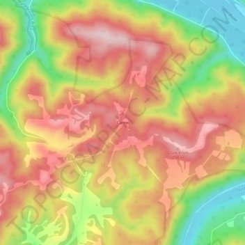
Name: Carew topographic map, elevation, terrain.
Location: Carew, Summers County, West Virginia, 25979, USA (37.49484 -80.90731 37.53484 -80.86731)
Average elevation: 1,985 ft
Minimum elevation: 1,404 ft
Maximum elevation: 2,425 ft