
Srikakulam topographic map
Interactive map
Click on the map to display elevation.
About this map
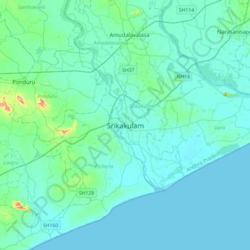
Name: Srikakulam topographic map, elevation, terrain.
Location: Srikakulam, Andhra Pradesh, 532001, India (18.13494 83.73388 18.45494 84.05388)
Average elevation: 69 ft
Minimum elevation: -3 ft
Maximum elevation: 732 ft