
South Hampton topographic map
Interactive map
Click on the map to display elevation.
About this map
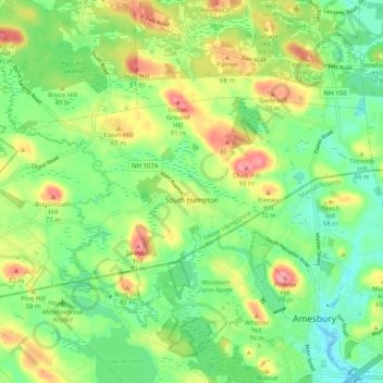
Name: South Hampton topographic map, elevation, terrain.
Location: South Hampton, Rockingham County, New Hampshire, USA (42.86453 -71.01561 42.90093 -70.91465)
Average elevation: 125 ft
Minimum elevation: -13 ft
Maximum elevation: 325 ft