
Skiff topographic map
Interactive map
Click on the map to display elevation.
About this map
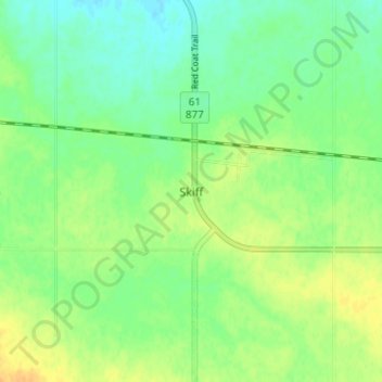
Name: Skiff topographic map, elevation, terrain.
Location: Skiff, Forty Mile County, Alberta, Canada (49.48000 -111.82000 49.52000 -111.78000)
Average elevation: 2,956 ft
Minimum elevation: 2,913 ft
Maximum elevation: 3,005 ft