
Malcolm topographic map
Interactive map
Click on the map to display elevation.
About this map
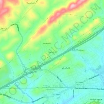
Name: Malcolm topographic map, elevation, terrain.
Location: Malcolm, Washington County, Virginia, 37621, United States (36.58955 -82.23930 36.62955 -82.19930)
Average elevation: 1,877 ft
Minimum elevation: 1,660 ft
Maximum elevation: 2,336 ft