
Province of Recuay topographic map
Interactive map
Click on the map to display elevation.
About this map
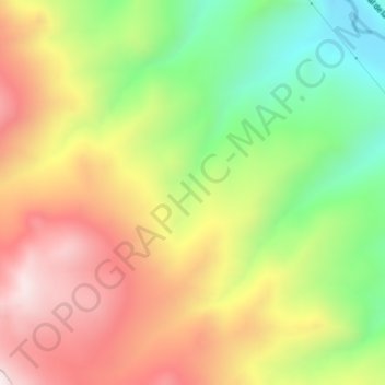
Name: Province of Recuay topographic map, elevation, terrain.
Location: Province of Recuay, Cátac, Recuay, Ancash, Peru (-9.97266 -77.42980 -9.93266 -77.38980)
Average elevation: 13,885 ft
Minimum elevation: 12,530 ft
Maximum elevation: 15,253 ft
Other topographic maps
Click on a map to view its topography, its elevation and its terrain.