
Ucareo topographic map
Interactive map
Click on the map to display elevation.
About this map
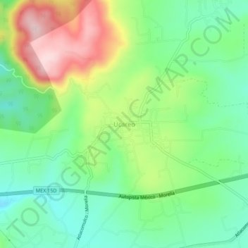
Name: Ucareo topographic map, elevation, terrain.
Location: Ucareo, Zinapécuaro, Michoacán, México (19.87966 -100.70700 19.91966 -100.66700)
Average elevation: 8,281 ft
Minimum elevation: 7,943 ft
Maximum elevation: 8,871 ft