
Lake Victoria topographic map
Interactive map
Click on the map to display elevation.
About this map
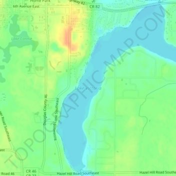
Name: Lake Victoria topographic map, elevation, terrain.
Average elevation: 1,401 ft
Minimum elevation: 1,355 ft
Maximum elevation: 1,476 ft
Other topographic maps
Click on a map to view its topography, its elevation and its terrain.
Alexandria
USA > Minnesota > Alexandria
Alexandria, Douglas County, Minnesota, 56308, USA
Average elevation: 1,398 ft