
Puławy topographic map
Interactive map
Click on the map to display elevation.
About this map
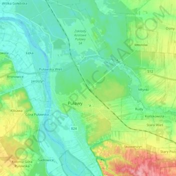
Name: Puławy topographic map, elevation, terrain.
Location: Puławy, powiat puławski, Lublin Voivodeship, 24-111, Poland (51.37089 21.92489 51.48228 22.02955)
Average elevation: 459 ft
Minimum elevation: 361 ft
Maximum elevation: 732 ft