
Lac de Pierre-Chatel topographic map
Interactive map
Click on the map to display elevation.
About this map
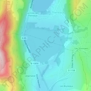
Name: Lac de Pierre-Chatel topographic map, elevation, terrain.
Average elevation: 3,304 ft
Minimum elevation: 3,025 ft
Maximum elevation: 4,144 ft