
Cedarville topographic map
Interactive map
Click on the map to display elevation.
About this map
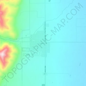
Name: Cedarville topographic map, elevation, terrain.
Location: Cedarville, Modoc County, California, 96104, United States (41.50906 -120.19328 41.54906 -120.15328)
Average elevation: 4,741 ft
Minimum elevation: 4,508 ft
Maximum elevation: 5,896 ft