
Blue River topographic map
Interactive map
Click on the map to display elevation.
About this map
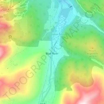
Name: Blue River topographic map, elevation, terrain.
Location: Blue River, Summit County, Colorado, USA (39.40198 -106.05288 39.45870 -106.00320)
Average elevation: 10,863 ft
Minimum elevation: 9,816 ft
Maximum elevation: 12,749 ft