
Kanakkankadavu topographic map
Interactive map
Click on the map to display elevation.
About this map
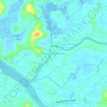
Name: Kanakkankadavu topographic map, elevation, terrain.
Location: Kanakkankadavu, Paravur, Ernakulam, Kerala, 683520, India (10.15262 76.25466 10.19262 76.29466)
Average elevation: 16 ft
Minimum elevation: -20 ft
Maximum elevation: 102 ft