
Fruithurst topographic map
Interactive map
Click on the map to display elevation.
About this map
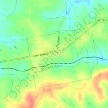
Name: Fruithurst topographic map, elevation, terrain.
Location: Fruithurst, Cleburne County, Alabama, United States (33.72200 -85.44497 33.73858 -85.42001)
Average elevation: 1,083 ft
Minimum elevation: 988 ft
Maximum elevation: 1,211 ft