
Wentworth topographic map
Interactive map
Click on the map to display elevation.
About this map
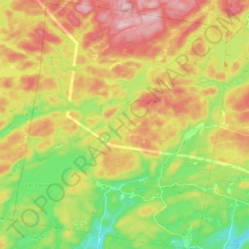
Name: Wentworth topographic map, elevation, terrain.
Location: Wentworth, Argenteuil, Laurentides, Quebec, Canada (45.74002 -74.44097 45.84722 -74.30856)
Average elevation: 1,060 ft
Minimum elevation: 682 ft
Maximum elevation: 1,486 ft
Other topographic maps
Click on a map to view its topography, its elevation and its terrain.
Lac Barrat
Lac Barrat, Rue Anne Est, Wentworth, Argenteuil, Laurentides, Quebec, J83W8, Canada
Average elevation: 1,096 ft