
Plains topographic map
Interactive map
Click on the map to display elevation.
About this map
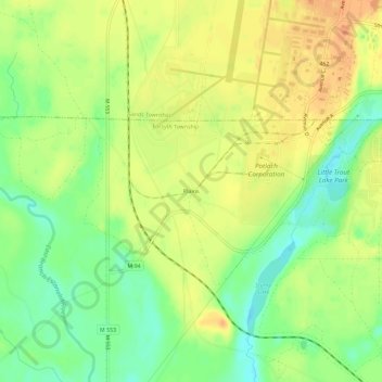
Name: Plains topographic map, elevation, terrain.
Location: Plains, Marquette County, Michigan, 49841, USA (46.30550 -87.42486 46.34550 -87.38486)
Average elevation: 1,152 ft
Minimum elevation: 1,079 ft
Maximum elevation: 1,207 ft