
Aytos topographic map
Interactive map
Click on the map to display elevation.
About this map
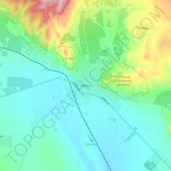
Name: Aytos topographic map, elevation, terrain.
Location: Aytos, Aitos, Burgas, 8500, Bulgaria (42.66191 27.21220 42.74191 27.29220)
Average elevation: 489 ft
Minimum elevation: 194 ft
Maximum elevation: 1,434 ft