
Murshidabad topographic map
Interactive map
Click on the map to display elevation.
About this map
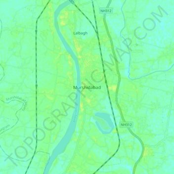
Name: Murshidabad topographic map, elevation, terrain.
Average elevation: 66 ft
Minimum elevation: 46 ft
Maximum elevation: 92 ft
Other topographic maps
Click on a map to view its topography, its elevation and its terrain.
Jiaganj Azimganj
India > West Bengal > Murshidabad Jiaganj
Jiaganj Azimganj, Murshidabad Jiaganj, Murshidabad, West Bengal, 742123, India
Average elevation: 72 ft