
Blue Hill topographic map
Interactive map
Click on the map to display elevation.
About this map
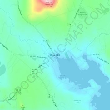
Name: Blue Hill topographic map, elevation, terrain.
Location: Blue Hill, Hancock County, Maine, 04614, United States (44.39416 -68.60696 44.43416 -68.56696)
Average elevation: 180 ft
Minimum elevation: -3 ft
Maximum elevation: 915 ft