
Shikama topographic map
Interactive map
Click on the map to display elevation.
About this map
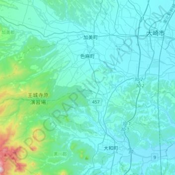
Name: Shikama topographic map, elevation, terrain.
Location: Shikama, Kami County, Miyagi Prefecture, Japan (38.44729 140.61965 38.57311 140.89058)
Average elevation: 364 ft
Minimum elevation: 16 ft
Maximum elevation: 3,363 ft