
Grajewo topographic map
Interactive map
Click on the map to display elevation.
About this map
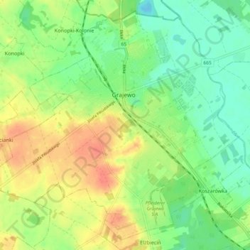
Name: Grajewo topographic map, elevation, terrain.
Location: Grajewo, powiat grajewski, Podlaskie Voivodeship, Poland (53.61525 22.40515 53.66512 22.49679)
Average elevation: 420 ft
Minimum elevation: 351 ft
Maximum elevation: 502 ft