
Poseyville topographic map
Interactive map
Click on the map to display elevation.
About this map
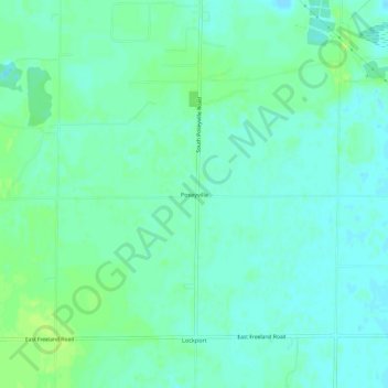
Name: Poseyville topographic map, elevation, terrain.
Location: Poseyville, Midland County, Michigan, USA (43.51975 -84.26943 43.55975 -84.22943)
Average elevation: 640 ft
Minimum elevation: 620 ft
Maximum elevation: 663 ft