
Military Park topographic map
Interactive map
Click on the map to display elevation.
About this map
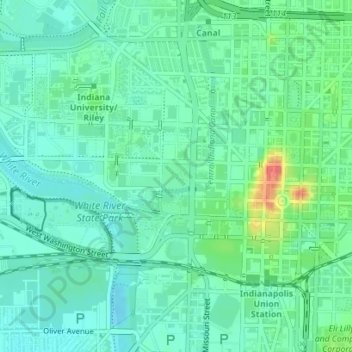
Name: Military Park topographic map, elevation, terrain.
Location: Military Park, Indianapolis, Marion County, Indiana, USA (39.76936 -86.17016 39.77148 -86.16710)
Average elevation: 715 ft
Minimum elevation: 669 ft
Maximum elevation: 837 ft