
Kwanza River topographic map
Interactive map
Click on the map to display elevation.
About this map
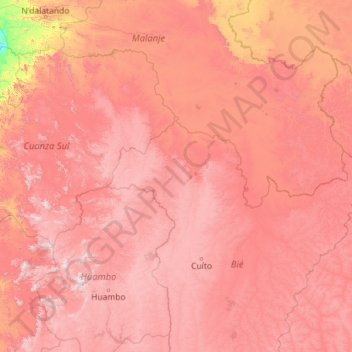
Name: Kwanza River topographic map, elevation, terrain.
Location: Kwanza River, Cuanza Sul, Angola (-13.50365 13.15643 -9.14917 17.72508)
Average elevation: 4,245 ft
Minimum elevation: 62 ft
Maximum elevation: 8,383 ft
Other topographic maps
Click on a map to view its topography, its elevation and its terrain.