
Hugoton topographic map
Interactive map
Click on the map to display elevation.
About this map
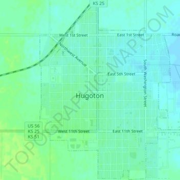
Name: Hugoton topographic map, elevation, terrain.
Location: Hugoton, Stevens County, Kansas, 67951, United States (37.16256 -101.35909 37.18972 -101.32999)
Average elevation: 3,114 ft
Minimum elevation: 3,097 ft
Maximum elevation: 3,136 ft
Other topographic maps
Click on a map to view its topography, its elevation and its terrain.
Hugoton
United States > Kansas > Stevens County > Hugoton
Hugoton, Stevens County, Kansas, 67951, United States
Average elevation: 3,120 ft