
Holly Springs topographic map
Interactive map
Click on the map to display elevation.
About this map
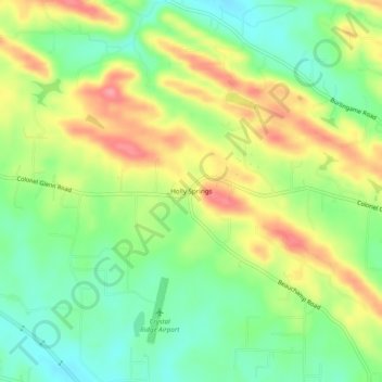
Name: Holly Springs topographic map, elevation, terrain.
Location: Holly Springs, Pulaski County, Arkansas, USA (34.72120 -92.53266 34.76120 -92.49266)
Average elevation: 554 ft
Minimum elevation: 423 ft
Maximum elevation: 722 ft