
Ehnbachklamm topographic map
Interactive map
Click on the map to display elevation.
About this map
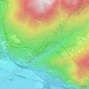
Name: Ehnbachklamm topographic map, elevation, terrain.
Location: Ehnbachklamm, Zirl, Innsbruck-Land, Tyrol, 6170, Austria (47.27870 11.25762 47.28515 11.27147)
Average elevation: 3,386 ft
Minimum elevation: 1,946 ft
Maximum elevation: 5,548 ft