
Mount Loloru topographic map
Interactive map
Click on the map to display elevation.
About this map
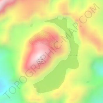
Name: Mount Loloru topographic map, elevation, terrain.
Average elevation: 5,125 ft
Minimum elevation: 3,950 ft
Maximum elevation: 6,102 ft
Other topographic maps
Click on a map to view its topography, its elevation and its terrain.
Mount Balbi
Papua-Neuguinea > Bougainville
Mount Balbi, Buka District, Bougainville, Islands Region, Papua-Neuguinea
Average elevation: 7,851 ft