
Ahmetli topographic map
Interactive map
Click on the map to display elevation.
About this map
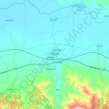
Name: Ahmetli topographic map, elevation, terrain.
Location: Ahmetli, Manisa, Aegean Region, Turkey (38.47971 27.89848 38.55971 27.97848)
Average elevation: 404 ft
Minimum elevation: 177 ft
Maximum elevation: 1,503 ft