
Gallagher topographic map
Interactive map
Click on the map to display elevation.
About this map
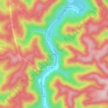
Name: Gallagher topographic map, elevation, terrain.
Location: Gallagher, Kanawha County, West Virginia, 25103, USA (38.15316 -81.42178 38.19316 -81.38178)
Average elevation: 1,270 ft
Minimum elevation: 600 ft
Maximum elevation: 1,765 ft