
Colfontaine topographic map
Interactive map
Click on the map to display elevation.
About this map
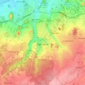
Name: Colfontaine topographic map, elevation, terrain.
Location: Colfontaine, Mons, Hainaut, Wallonia, 7340, Belgium (50.37921 3.81406 50.43465 3.87187)
Average elevation: 299 ft
Minimum elevation: 79 ft
Maximum elevation: 479 ft
Other topographic maps
Click on a map to view its topography, its elevation and its terrain.