
Hothouse topographic map
Interactive map
Click on the map to display elevation.
About this map
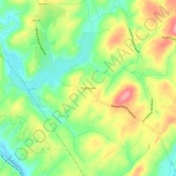
Name: Hothouse topographic map, elevation, terrain.
Location: Hothouse, Fannin County, Georgia, 30559, USA (34.91453 -84.32381 34.95453 -84.28381)
Average elevation: 1,690 ft
Minimum elevation: 1,506 ft
Maximum elevation: 1,929 ft