
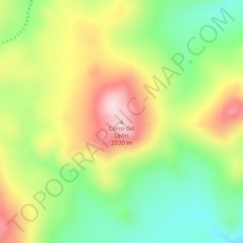
Cerro del León topographic map
Interactive map
Click on the map to display elevation.
About this map
Name: Cerro del León topographic map, elevation, terrain.
Location: Cerro del León, Departamento Picunches, NQN, Argentine (-38.79457 -70.56738 -38.79447 -70.56728)
Average elevation: 6,017 ft
Minimum elevation: 5,518 ft
Maximum elevation: 6,634 ft
Other topographic maps
Click on a map to view its topography, its elevation and its terrain.
Cerro La Campana
Cerro La Campana, Departamento Catán Lil, NQN, Argentine
Average elevation: 4,767 ft
Cerro Centinela
Cerro Centinela, Comisión de Fomento de Manzano Amargo, Departamento Minas, NQN, Argentine
Average elevation: 6,362 ft