
Yoro topographic map
Interactive map
Click on the map to display elevation.
About this map
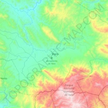
Name: Yoro topographic map, elevation, terrain.
Location: Yoro, Honduras (14.97793 -87.28792 15.29793 -86.96792)
Average elevation: 3,264 ft
Minimum elevation: 1,532 ft
Maximum elevation: 7,428 ft
Other topographic maps
Click on a map to view its topography, its elevation and its terrain.