
Oakton topographic map
Interactive map
Click on the map to display elevation.
About this map
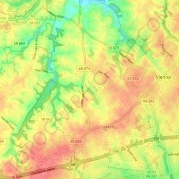
Name: Oakton topographic map, elevation, terrain.
Location: Oakton, Fairfax County, Virginia, 22181, United States (38.86318 -77.33860 38.93028 -77.25384)
Average elevation: 358 ft
Minimum elevation: 213 ft
Maximum elevation: 472 ft