
King Salmon topographic map
Interactive map
Click on the map to display elevation.
About this map
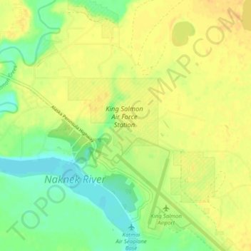
Name: King Salmon topographic map, elevation, terrain.
Location: King Salmon, Bristol Bay, Alaska, USA (58.66843 -156.68184 58.70843 -156.64184)
Average elevation: 59 ft
Minimum elevation: 3 ft
Maximum elevation: 98 ft