
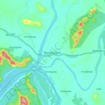
Bhamaragad topographic map
Interactive map
Click on the map to display elevation.
About this map
Name: Bhamaragad topographic map, elevation, terrain.
Location: Bhamaragad, Bhamragad, Gadchiroli, Maharashtra, India (19.37543 80.55094 19.45543 80.63094)
Average elevation: 741 ft
Minimum elevation: 633 ft
Maximum elevation: 1,286 ft