
Höpen topographic map
Interactive map
Click on the map to display elevation.
About this map
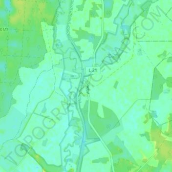
Name: Höpen topographic map, elevation, terrain.
Location: Höpen, Oberhavel, Brandenburg, 16559, Germany (52.89888 13.36380 52.93888 13.40380)
Average elevation: 141 ft
Minimum elevation: 125 ft
Maximum elevation: 164 ft