
Mittelland topographic map
Interactive map
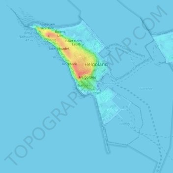
Click on the map to display elevation.
About this map
Name: Mittelland topographic map, elevation, terrain.
Average elevation: 7 ft
Minimum elevation: 0 ft
Maximum elevation: 177 ft
Other topographic maps
Click on a map to view its topography, its elevation and its terrain.
Kant
Deutschland > Schleswig-Holstein > Helgoland
Kant, Am Wassersturzbecken, Unterland, Helgoland, Pinneberg, Schleswig-Holstein, 27498, Deutschland
Average elevation: 3 ft
Düne
Deutschland > Schleswig-Holstein > Helgoland
Düne, Helgoland, Pinneberg, Schleswig-Holstein, Deutschland
Average elevation: 0 ft