
Moorefield topographic map
Interactive map
Click on the map to display elevation.
About this map
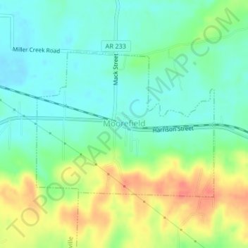
Name: Moorefield topographic map, elevation, terrain.
Location: Moorefield, Independence County, Arkansas, USA (35.76036 -91.58222 35.77620 -91.55834)
Average elevation: 358 ft
Minimum elevation: 282 ft
Maximum elevation: 489 ft