
Mogès topographic map
Interactive map
Click on the map to display elevation.
About this map
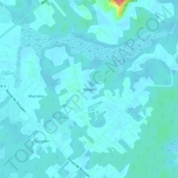
Name: Mogès topographic map, elevation, terrain.
Average elevation: 23 ft
Minimum elevation: 0 ft
Maximum elevation: 259 ft
Other topographic maps
Click on a map to view its topography, its elevation and its terrain.
Mont Paramana
Mont Paramana, Matoury, Cayenne, Guyane, 97351, France
Average elevation: 30 ft
Mont Grand Matoury
Mont Grand Matoury, Matoury, Cayenne, Guyane, 97351, France
Average elevation: 210 ft