
Horley topographic map
Interactive map
Click on the map to display elevation.
About this map
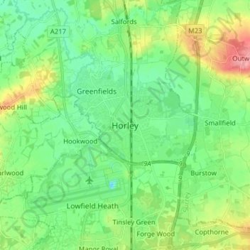
Name: Horley topographic map, elevation, terrain.
Location: Horley, Surrey, South East, England, RH6 7PP, United Kingdom (51.13168 -0.20408 51.21168 -0.12408)
Average elevation: 213 ft
Minimum elevation: 128 ft
Maximum elevation: 397 ft