
Grand Sudbury topographic map
Interactive map
Click on the map to display elevation.
About this map
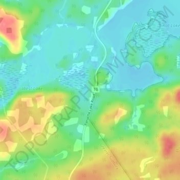
Name: Grand Sudbury topographic map, elevation, terrain.
Location: Grand Sudbury, Ontario, Canada (46.30345 -81.35723 46.31138 -81.35451)
Average elevation: 814 ft
Minimum elevation: 728 ft
Maximum elevation: 968 ft