
Tiruvallur topographic map
Interactive map
Click on the map to display elevation.
About this map
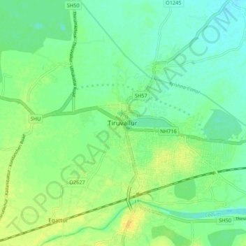
Name: Tiruvallur topographic map, elevation, terrain.
Average elevation: 141 ft
Minimum elevation: 112 ft
Maximum elevation: 177 ft
Other topographic maps
Click on a map to view its topography, its elevation and its terrain.
Mappedu
India > Tamil Nadu > Thiruvallur
Mappedu, Thiruvallur, Thiruvallur District, Tamil Nadu, 631402, India
Average elevation: 200 ft