
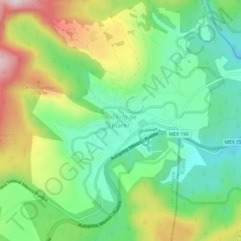
Río Frío de Juárez topographic map
Interactive map
Click on the map to display elevation.
About this map
Name: Río Frío de Juárez topographic map, elevation, terrain.
Location: Río Frío de Juárez, Ixtapaluca, Mexico (19.33394 -98.69085 19.37394 -98.65085)
Average elevation: 10,089 ft
Minimum elevation: 9,498 ft
Maximum elevation: 11,119 ft