
Amherstburg topographic map
Interactive map
Click on the map to display elevation.
About this map
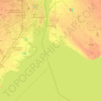
Name: Amherstburg topographic map, elevation, terrain.
Average elevation: 584 ft
Minimum elevation: 440 ft
Maximum elevation: 722 ft
Other topographic maps
Click on a map to view its topography, its elevation and its terrain.
Leamington
Canada > Ontario > Essex County
Leamington, Essex County, Ontario, Canada
Average elevation: 581 ft
Tecumseh
Canada > Ontario > Essex County
Tecumseh, Essex County, Ontario, Canada
Average elevation: 600 ft